- Curiosity Home
- Science
- News and Features
- Multimedia
- Mars Missions
- Mars Home
4 min read
Written by Lucy Lim, Planetary Scientist at NASA’s Goddard Space Flight Center
Earth planning date: Friday, Oct. 16, 2026
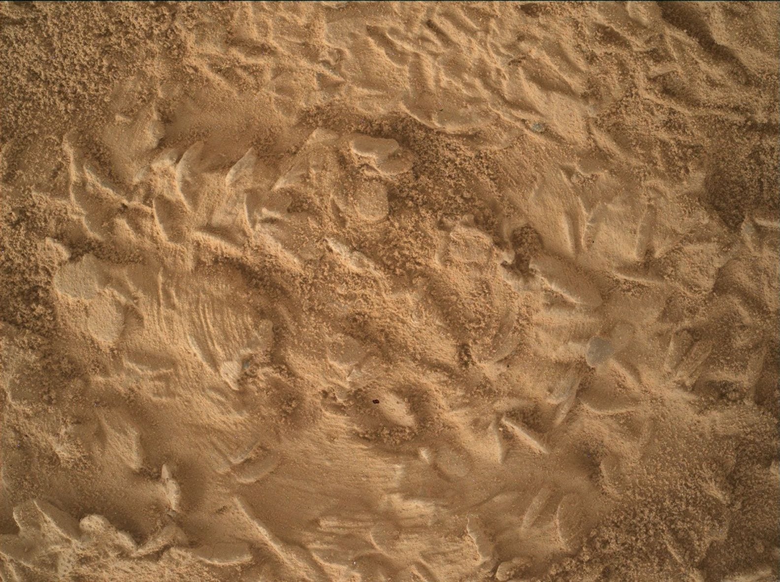
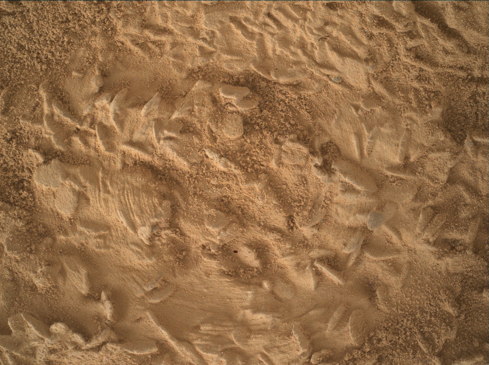
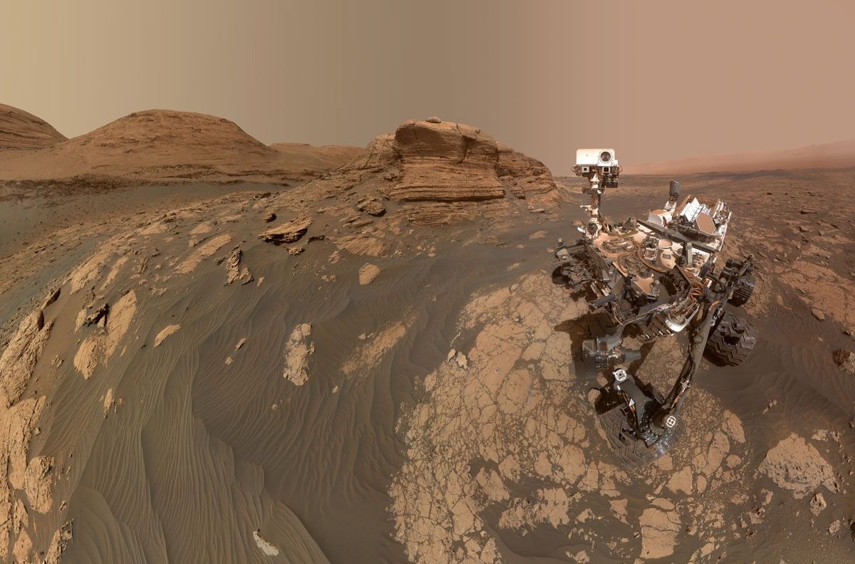
Following the Basque Lakes drill campaign, Curiosity has returned to a spot just a few meters away from the “Chiu Chiu” block to conduct our next drill campaign. “Chiu Chiu” itself wasn’t a good candidate for drilling but the block just beyond it was much more promising, so it became our drive target during Monday’s planning. I was on planning Friday as Geology and Mineralogy Science Theme Lead when we received our close-up views of the neighbor block from the post-drive imaging and our team was happy to see that it was jam-packed with the “disc- and needle-” shaped lumps, just like “Chiu Chiu.” We quickly gave the science go-ahead to proceed with preparations for drilling at the newly named “Nazca” site.
One major hypothesis about how the “discs and needles” texture formed is that the characteristic shapes were originally created during the growth of crystals, or “crystal forms.” Minerals will tend to grow into specific shapes depending on their microscopic crystal structure, similar to the salt crystals that you can grow in your kitchen as a home science project. (Maybe you have grown one of those for a science class in school!) The relatively large sizes of the crystal forms at “Nazca” and “Chiu Chiu” are providing clues about the temperature at the time when they grew and the availability of salts and fluids. However, we can’t necessarily assume that the modern-day composition represents the original mineral because sometimes mineral crystals are replaced by other minerals some time after original crystallization. The new minerals are then known as “pseudomorphs” because they have the same shape as the first minerals but not the same composition or molecular structure.
As we prepared for the drill preload test, we also planned several special observations aimed at highly detailed characterization of the crystal forms. MAHLI will execute a Quantitative Relief Model (“QRM”) observation consisting of five overlapping images at slightly different geometries. The combination of these will enable a detailed three-dimensional relief model to be constructed. In addition, MAHLI will also add extra frames to its highest-resolution imaging by doubling the number of focus mechanism steps. Together, these observations will increase the resolution of the 3D models we will have of the crystal forms.
Meanwhile, the ChemCam LIBS will conduct a “depth profile” experiment to obtain compositional information from slightly deeper layers within a nearby crystal-form-rich target, “Toucan”. Normally the 150 LIBS laser shots from each sol’s observation are spaced out over a five-point raster at 30 shots per point, but this time we are concentrating all 150 laser shots on the same spot on the rock. Since each laser shot vaporizes a very small amount of the rock to form a plasma, the 150-shot profile should penetrate approximately five times deeper than a normal 30-shot point observation. We will thus be able to observe the composition deeper inside the exposed crystal form and see whether it’s different from the surface-level composition. There are several reasons this could be the case including exposure of the surface to the modern Martian environment and also the circumstances in which the crystal form developed originally, so it’s an experiment worth pursuing.
The LIBS, DRT and APXS will also be applied to the “Nazca” spot before the preload test to characterize its surface composition as thoroughly as possible before drilling. The third LIBS of the plan will go to “Condor,” a nearby block in which a finely layered texture is exposed.
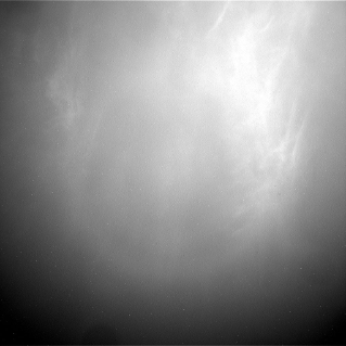
We also continued to observe the modern Martian environment as twilight cloud season begins. In this plan we included some nighttime imaging of the larger and brighter of Mars’ two satellites, Phobos. Capturing images of Phobos and the nearby sky when Phobos is full can show sunlight reflecting off the moon and scattering in the Martian atmosphere, providing a good way to estimate the particle sizes in the Martian clouds. We can do similar measurements sometimes with solar observations, but the Phobos data allow us to measure cloud particle sizes later in the night. We expect to be measuring high-altitude carbon dioxide (CO2) clouds in this observation.
-
Want to read more posts from the Curiosity team?
-
Want to learn more about Curiosity’s science instruments?
Explore More

Discover More Topics From NASA
Mars
Mars is the fourth planet from the Sun, and the seventh largest. It’s the only planet we know of inhabited…
All Mars Resources
Explore this collection of Mars images, videos, resources, PDFs, and toolkits. Discover valuable content designed to inform, educate, and inspire,…
Rover Basics
Each robotic explorer sent to the Red Planet has its own unique capabilities driven by science. Many attributes of a…
Mars Exploration: Science Goals
The key to understanding the past, present or future potential for life on Mars can be found in NASA’s four…