Science
Uncovering the Valleys Hidden Below Greenland’s Ice
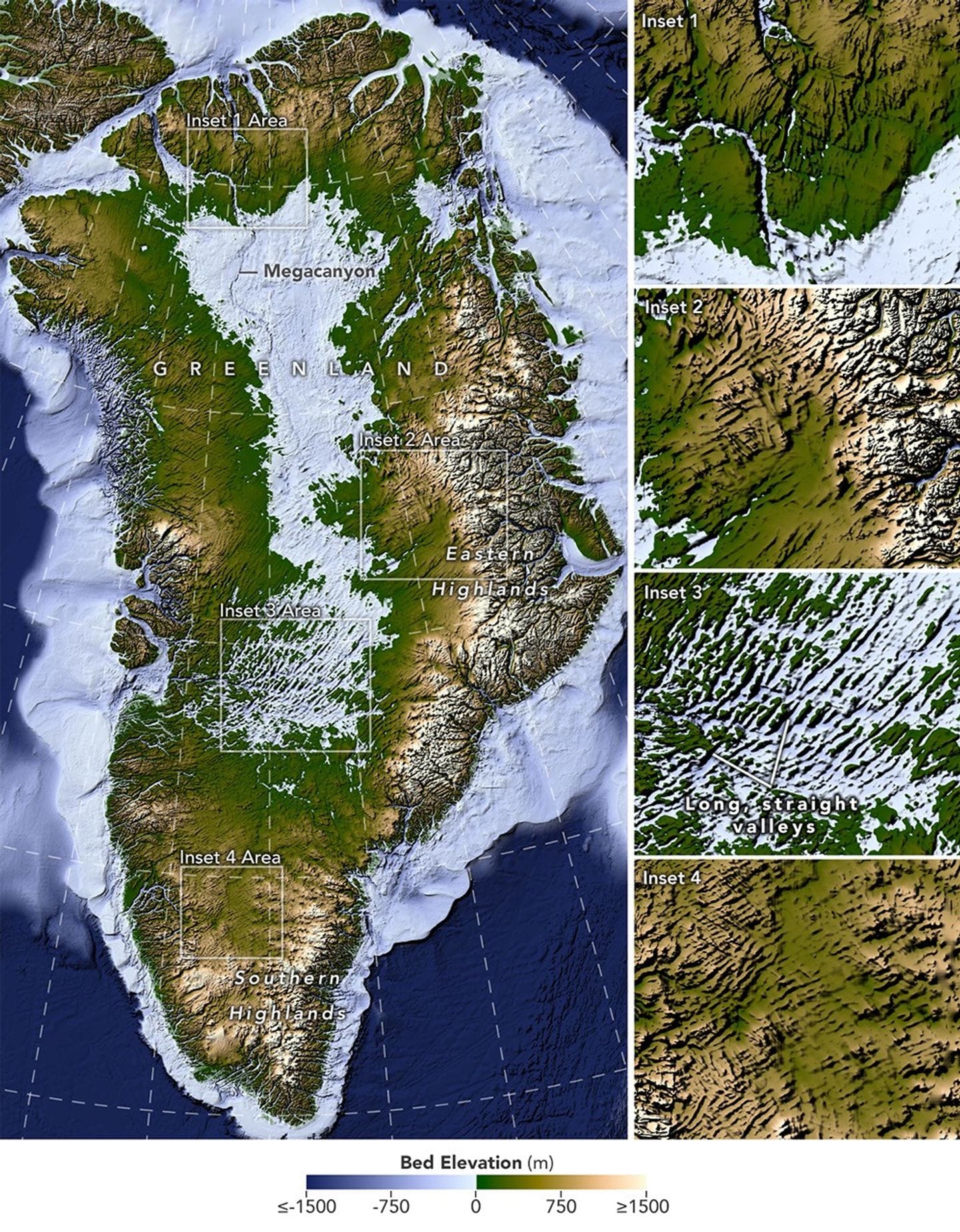
A new map of the terrain beneath the Greenland Ice Sheet links hundreds of valleys that previous maps missed or left fragmented.
International news in seven languages
Topic
A new map of the terrain beneath the Greenland Ice Sheet links hundreds of valleys that previous maps missed or left fragmented.
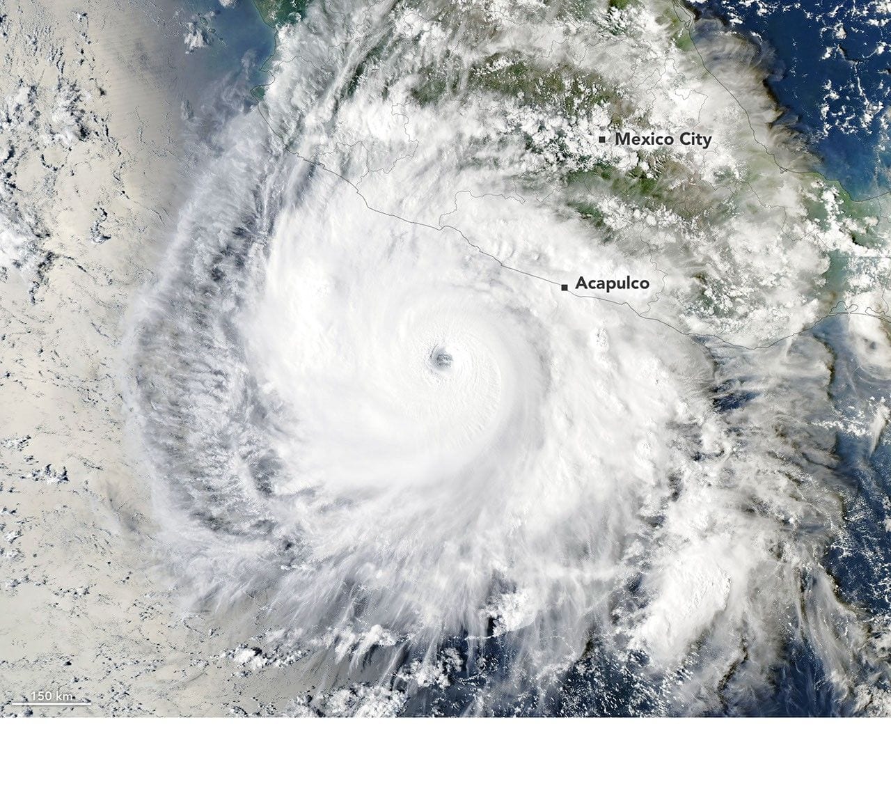
Several ingredients came together off the Pacific coast of Mexico to generate one of the strongest storms the eastern Pacific basin has ever seen.
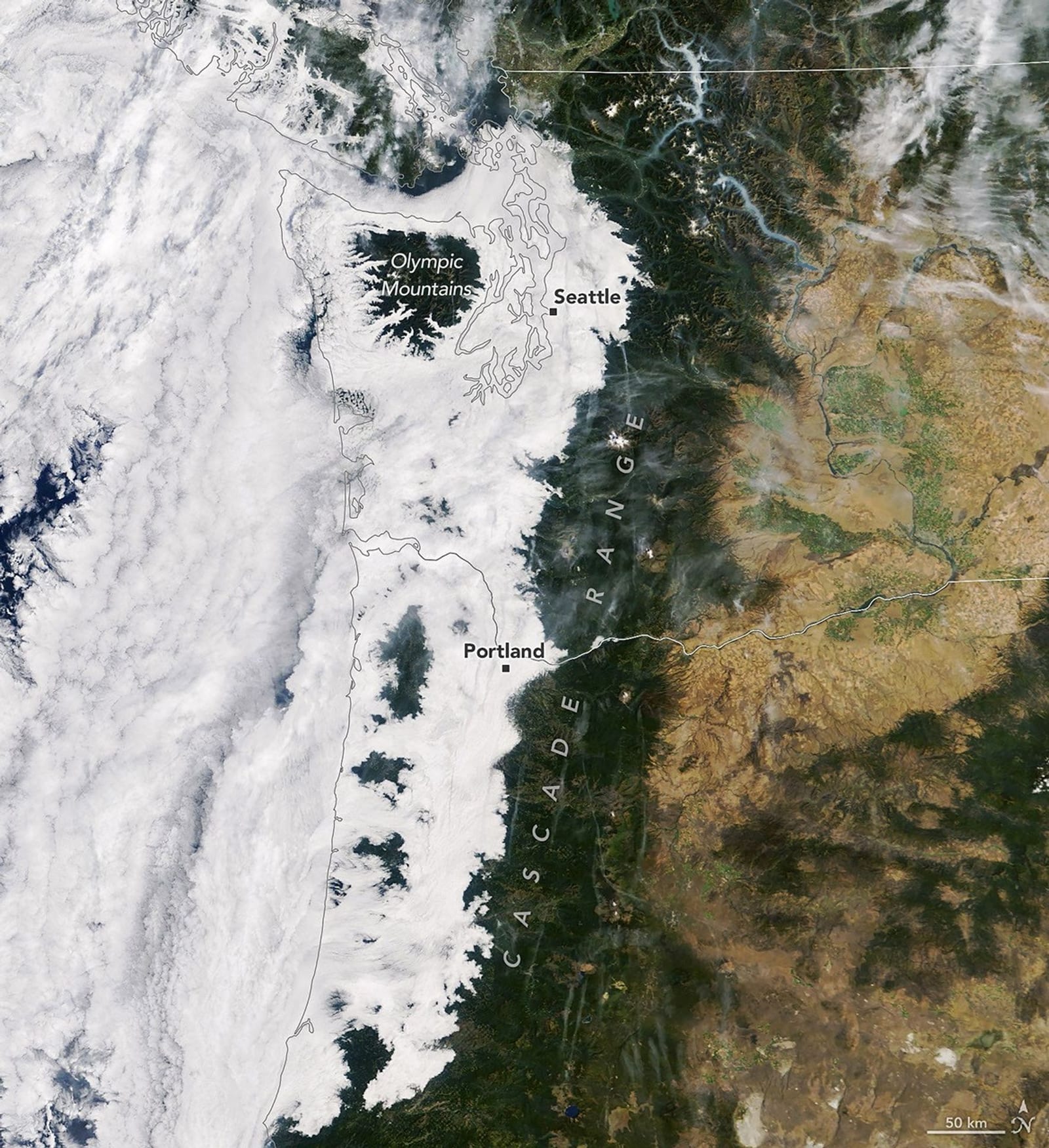
A low-lying cloud layer brought autumn ambience to western Washington and Oregon, while mountainous areas near the coast remained above the pall.
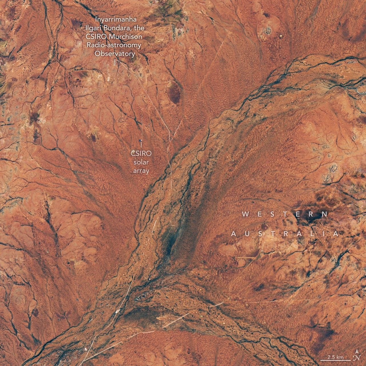
Carpets of wildflowers burst from arid, ochre-colored land in Western Australia following winter rains.
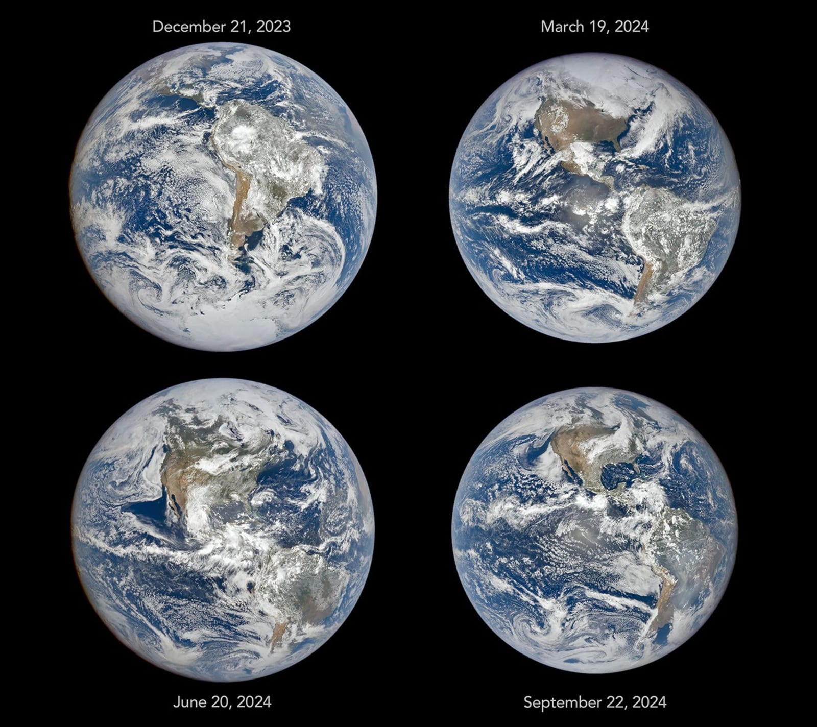
The tilt in Earth’s axis of rotation makes the apparent position of continents shift with the seasons in imagery from a NASA camera in deep space.
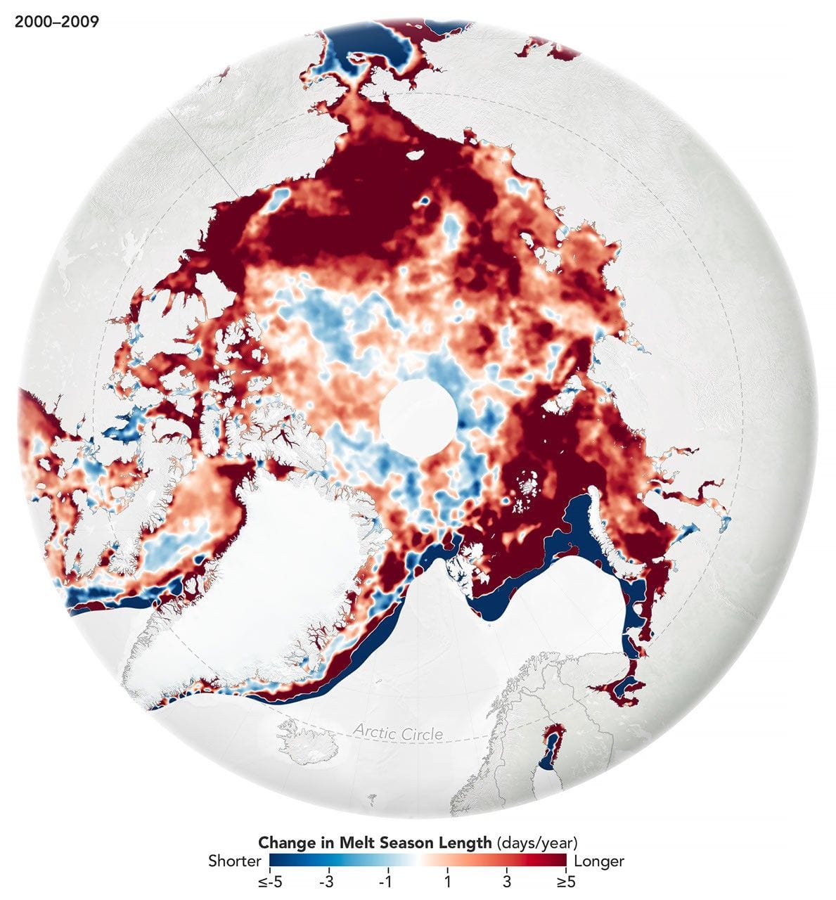
While the sea ice melt season has lengthened dramatically in most of the satellite era, the trend unexpectedly stabilized around 2010.
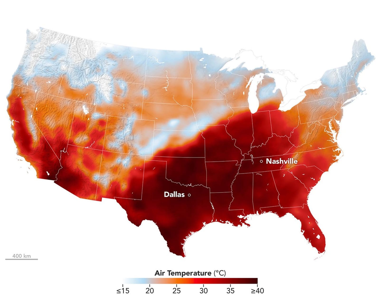
Temperature records toppled across the central and southern U.S. as the autumnal equinox approached.